
AVILOXX HighTec – Tracking System for "Stray" Model Airplanes
Which of us model airplane enthusiasts has never had the problem of finding models that have flown away? Whether it was due to emergency landings caused by technical issues, weather conditions, or simply pilot error—which, after all, can happen from time to time.
I’m sure we’ve all had to search for models in tall cornfields at some point. When flying in alpine terrain, it’s easy for models to fly out of sight. In both cases—and with a little luck—the models may “land on their own” virtually undamaged. Even if a model crashes, you should still try to recover it—not least for environmental reasons. While it used to be possible to find a model only within a limited area and mostly by chance, there is now an excellent, easy-to-use high-tech solution from Austria called AVILOXX.
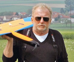
The model’s landing position data is transmitted wirelessly via multiple channels using frequency hopping, WITHOUT requiring GSM or Internet coverage. This is a major advantage, especially in alpine terrain. A new radio technology enables remarkable ranges of up to 20 km and more with relatively low transmission power.
This technology was developed because, based on personal experience, a model aircraft was lost while flying in thermals—gaining altitude at a breathtaking rate before eventually disappearing from view. Fortunately, it was recovered by chance a few days later, undamaged in a field several kilometers away from the launch site.
The model contains a transmitter unit (you could also call it a black box) that weighs approximately 19 grams. It consists of a GPS receiver and a microcomputer powered by a 3.7V/250 mAh (approx. 10 hours) LiPo battery or higher, which actively transmits the geographic position and other important data.
The pilot, who is frustrated by the loss of visibility, sees the model’s assigned name, the landing point’s position data, the altitude, the signal strength, and the transmitter unit’s battery voltage displayed on a small receiver with an easy-to-read screen.
This data is transmitted via Bluetooth to a special mapping app on an Android smartphone or Android smartwatch—WITHOUT an internet or cellular connection—and used to display a map and provide voice instructions regarding direction and distance from the pilot’s current location. This means that, using the appropriate app on an Android smartphone WITHOUT an internet or cellular connection, you can see your own position and that of the model that has landed in unfamiliar terrain. A map display with routing features allows you to better orient yourself and navigate the terrain.
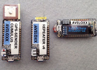
a model that has landed in unfamiliar terrain. A map display with routing features makes it easier to orient yourself and navigate the terrain.
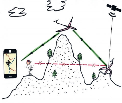
If, due to adverse conditions (excessive distance, an extremely deep and narrow valley, terrain obstruction, etc.) direct radio contact between the lost model and the pilot is still not possible, there is another option: using a second model aircraft equipped with a repeater (approx. 12 grams) that has uplink and downlink capabilities to the pilot. This increases the radio line-of-sight range from the flight altitude many times over, thereby enabling location even in terrain where a direct line of sight is not possible.
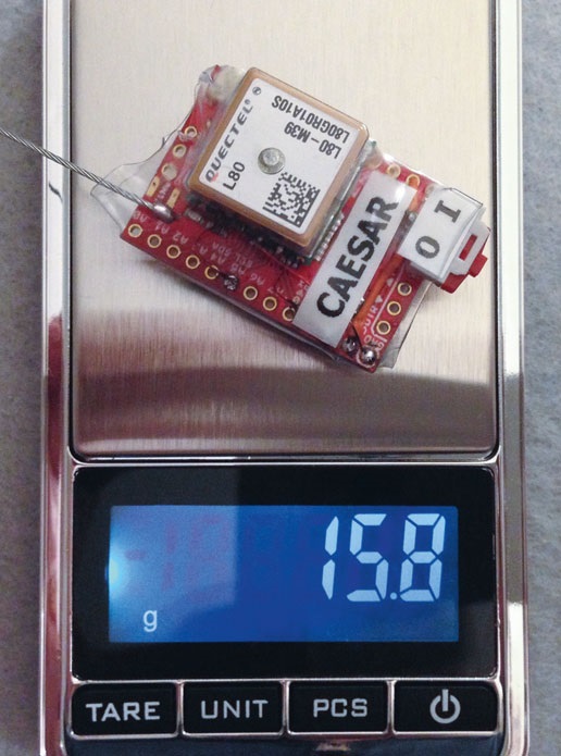
The transmitter unit used in the model aircraft is equipped with its own crash power supply (1-cell LiPo 3.7 V/150 mAh) and can be connected to the onboard battery and installed with mechanical protection. This ensures a continuous power supply to the transmitter. The antenna must be routed in a straight line and kept away from electrically conductive parts. For carbon-fiber fuselages, it is recommended to route the antenna to the outside. The antenna length of all devices is calibrated and must not be altered. Operation is permitted in all EU countries without a license and at no cost.
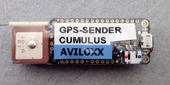
The tracking system consists of the following components:
- Transmitter unit with GPS (in the model aircraft), with its own power supply and protection against overcharging and deep discharge
- Receiver unit with display and Bluetooth (worn by the pilot), with its own power supply and protection against over- and under-discharge
- Repeater, optional (in the “repeater model”) for long distances or terrain out of sight, with its own power supply and protection against over- and under-discharge
AVILOXX – GPS Transmitter Unit
AVILOXX – Repeater (optional)
AVILOXX – Receiver unit with Bluetooth and display
; smartphone/smartwatch (Android 4.1 or later) with memory card
; mapping software with precise landing point display, flight path recording, and routing; or a list-view app.
It’s amazing what modern technology can do. Using AVILOXX can be especially worthwhile for our valuable models. Not least, when using LiPo batteries, it’s advisable to be able to locate the model—if only for environmental reasons.
For more information and a list of suppliers, visit: aviloxx@gmx.at

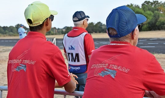
TEAM MANAGER "THIS" BOSSHARD
 Rodito Nussbaumer
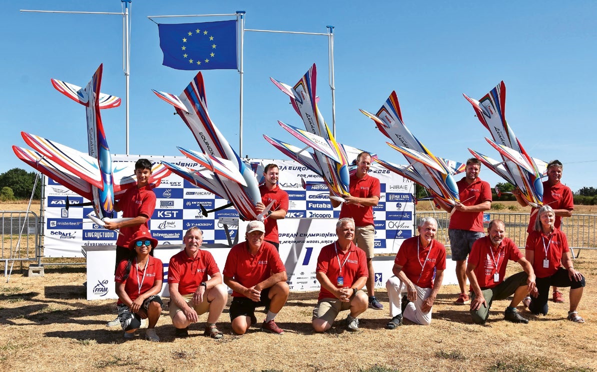
F3A EUROPEAN CHAMPIONSHIPS IN ST-MACAIRE, FRANCE
 Matthias Bosshard
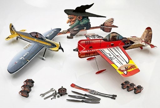
News from HEBU
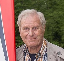
YOU KNOW WHAT I MEAN? 125 YEARS OF THE SWISS AERO CLUB
 Emil Giezendanner
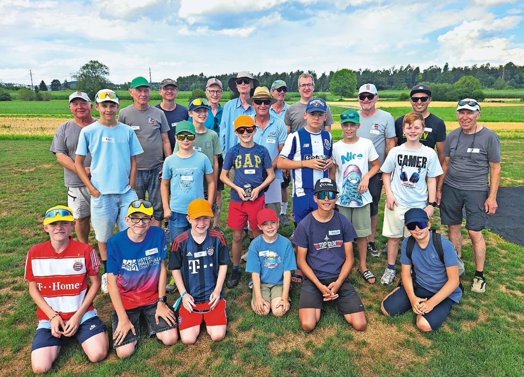
SUMMER FUN 2026 AT MG USTER
Martin Wunderli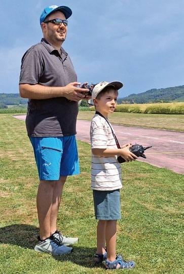
TRY-OUT DAY AT MFV WETTINGEN
Urs Keller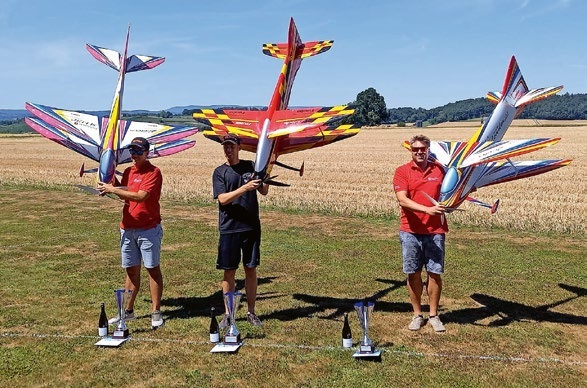
52. 2026 ALPS CUP
Emil Giezendanner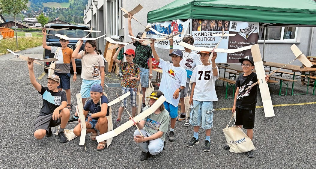
BY YOUTH, FOR YOUTH
Lorena Betschen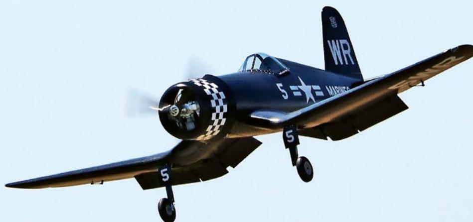
CORSAIR F4U – A WARBIRD WITH A MEMORABLE LOOK
Jürgen Rosenberger, Jürgen Prinz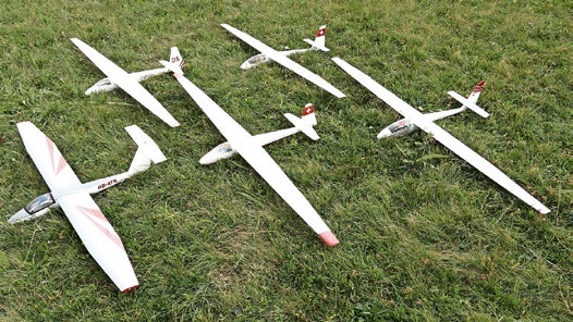
SMALL, MODEL-LIKE SAILBOATS
Res Dauwalder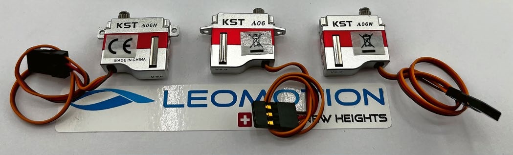
What's New at Leomotion.com
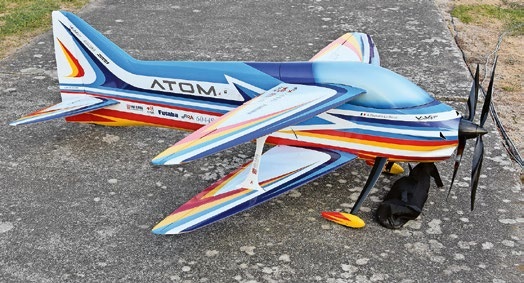
ATOM, THE NEW DOUBLE-DECKER FROM CPLR
Matthias Bosshard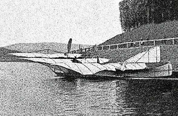
INSIGHTS INTO THE HISTORY OF SEAPLANES
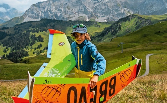
34th HAHNENMOOS ALPINE MODEL AIRPLANE CAMP
Res Dauwalder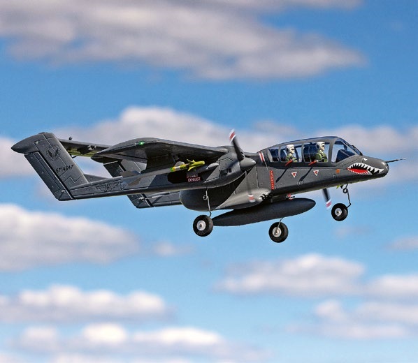
HORIZON HOBBY/LEMACO NEWS: MICRO OV-10 BRONCO 645 MM BY E-FLITE
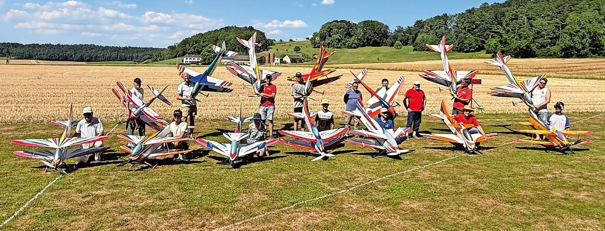
COUPE DES ALPES – OBSERVE AND LEARN
Rodito Nussbaumer
PRIDE AND GOOD IDEAS
 Markus Nussbaumer
EURO CONTEST GLIDER ACRO TOUR AUSTRIA 2026
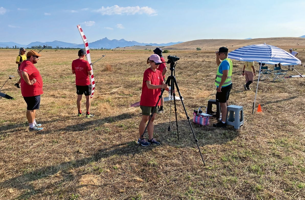
FREE FLIGHT IN THE MIDDLE OF SUMMER
Urs Muntwyler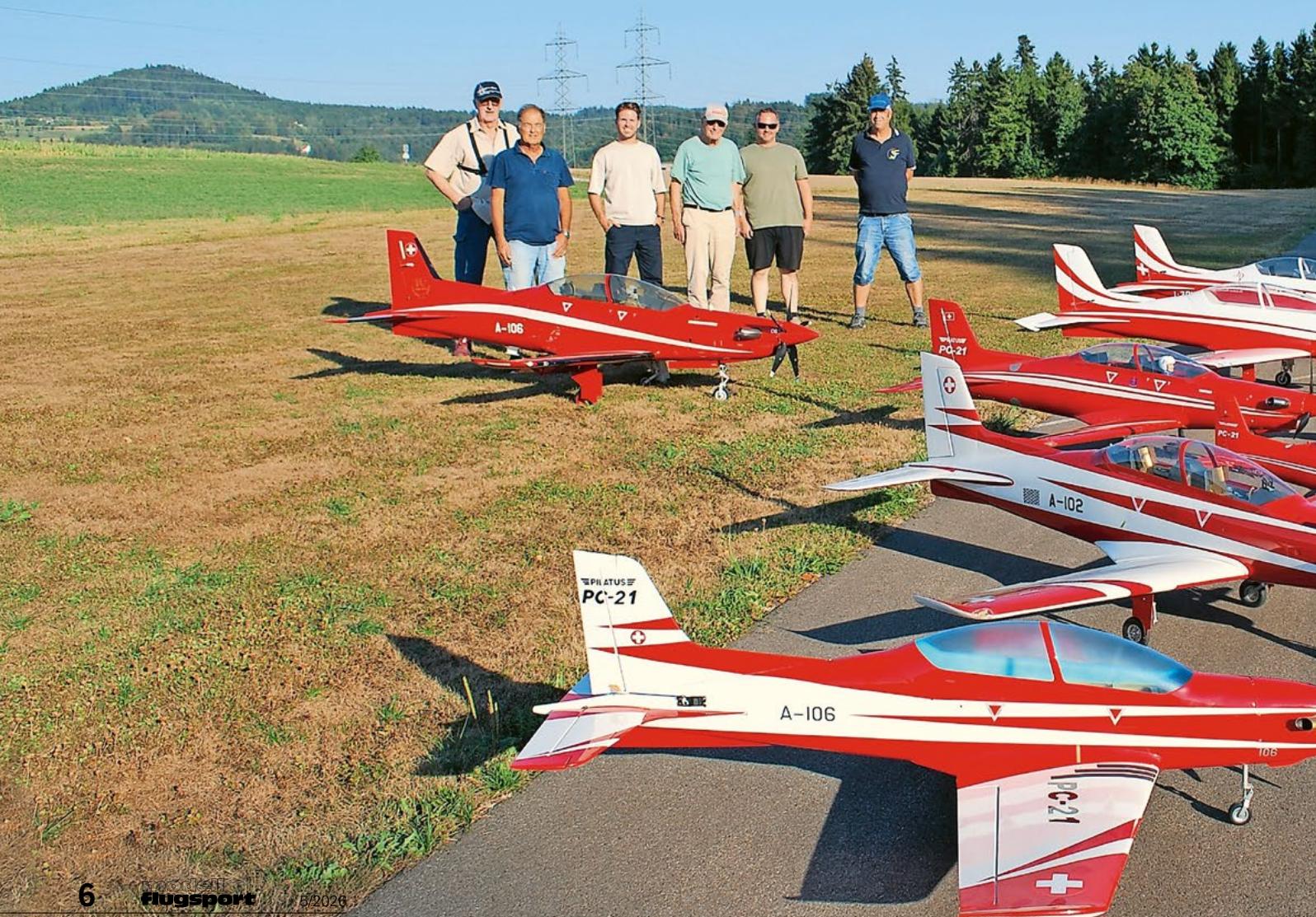
THE PC-21 STORY
Emil Giezendanner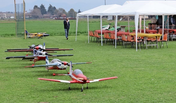
TWIN TOWN PARTNERSHIP
Wolfgang Voeller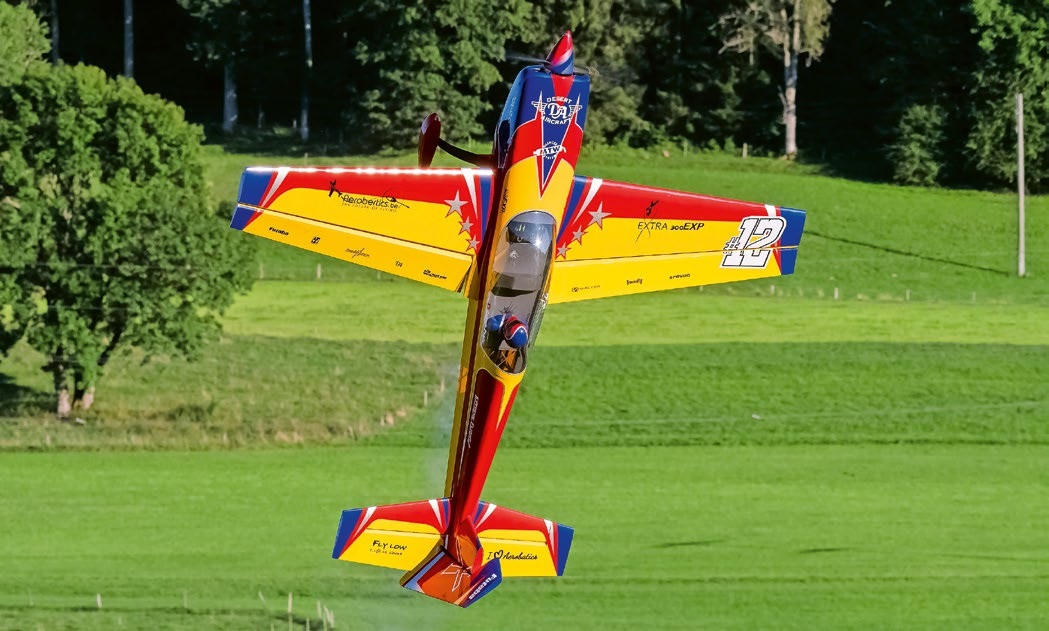
WELCOME, NEW MEMBER!
Andrea Bolliger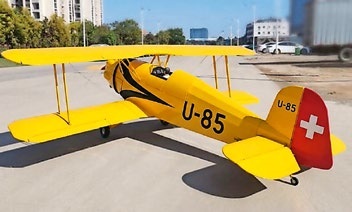
NEWS FROM HEBU
 Julia Bucher
FROM 0 TO 100
Markus Nussbaumer
MEMORIES
Wolfgang Völler
NOS REGION – A HUB FOR ELECTRIC AVIATION
Emil Giezendanner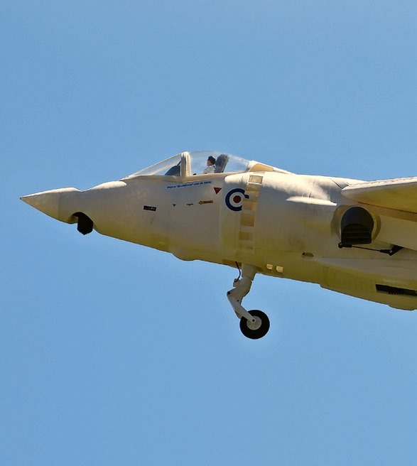
Have you almost forgotten about aircraft that take off and land vertically?
Emil Giezendanner
70 YEARS OF THE NIDWALDEN MODEL AIRPLANE CLUB
Martin Barmettler